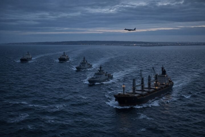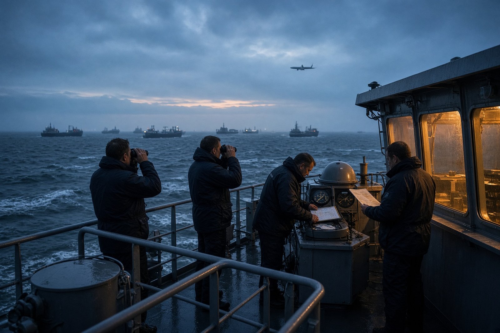
Dozens of aircraft reportedly lost GPS navigation over the Netherlands on 9 November 2026, including seven planes approaching Amsterdam Schiphol Airport. The suspected interference came from the North Sea, where a signal source was traced to sea level north of Texel — raising a difficult question for European authorities: how do you protect civilian transport when the suspected transmitter can move?
Reports published on 15 November linked the disruption to an area where six Russian-flagged vessels were present. Three were said to be travelling in a convoy carrying Russian weapons and accompanied by Russian naval ships. That coincidence gives investigators a significant lead, but it does not establish that any particular ship transmitted the signal, or that the Russian state ordered the interference.
The immediate problem was operational. The wider one is strategic. Europe’s aviation, shipping and logistics networks have alternatives to satellite navigation, but switching to them takes time, training and concentration — resources that are most heavily tested when aircraft are approaching a busy airport.
A signal lost on the approach to Schiphol
At Schiphol, the Netherlands’ largest airport, seven aircraft experienced navigation problems during their approaches, according to the reports. The disruption affected dozens of aircraft over the Kingdom of the Netherlands.
Data analyst John Wiseman reportedly located the source of the interference in the North Sea, north of Texel, an island in the province of North Holland. The pattern appeared to begin at sea level, suggesting that the transmitting equipment may have been on a vessel rather than installed on land.
That distinction matters. A fixed transmitter can be monitored, mapped and investigated from a known location. A maritime source can alter its position, operate close to busy routes and blend into ordinary shipping traffic. Locating a radio signal is therefore not the same as identifying the vessel carrying the equipment, the people operating it or the authority behind it.
The three vessels reportedly connected to the convoy, along with their owner, are on the European Union’s sanctions list over alleged involvement in weapons transport between North Korea, Iran and Russia. The presence of sanctioned vessels and Russian naval escorts adds security significance to the incident, but it remains circumstantial evidence rather than proof of responsibility.
The report on the suspected connection between the ships and the GPS disruption was published by Headtopics. The available account does not cite a public finding by Dutch authorities assigning responsibility to Russia or to a specific vessel.
For pilots, losing GPS during an approach does not automatically place an aircraft in immediate danger. Commercial aircraft use several navigation systems, and crews are trained to follow procedures for operating without satellite positioning. Air-traffic controllers can also use other surveillance and navigation tools.
But the loss of a system at a critical moment still carries a cost. Crews must determine which information remains reliable and, where necessary, move to another method of navigation. Controllers may need to monitor aircraft more closely and manage arrivals with additional safeguards. Poor visibility, difficult weather or heavy traffic can make that transition more demanding.
Jamming can make a system go blank. Spoofing can make it lie
The reported incident involved jamming, in which a powerful radio transmission overwhelms the much weaker signals sent by navigation satellites. A receiver may then lose the ability to calculate its position or indicate that the navigation data are unavailable.
Spoofing is different. Instead of simply drowning out the genuine signal, a transmitter sends counterfeit signals that persuade a navigation system to calculate false coordinates or an incorrect time. That can be harder to spot because the equipment may appear to be working while displaying a position that is wrong.
The distinction extends well beyond aircraft. Ships, ports, emergency services, logistics operators and communications networks use satellite signals for positioning and timing. A complete loss can cause delays and force operators to rely on manual checks. False data can be more insidious: a crew or automated system may continue following apparently credible information in the wrong direction.
Satellite timing also helps synchronise technical and digital infrastructure. Interference can therefore disrupt operations without causing physical damage. Route changes, additional monitoring, delays and a loss of confidence in navigation data can all impose costs on transport networks.
Those costs become more serious when interference is repeated. A single short outage may be absorbed through established procedures. Regular disruptions would require airlines, shipping companies and infrastructure operators to plan routes and timetables around the possibility that satellite navigation may be unavailable or unreliable.
The problem is moving west
European aviation regulators have recorded an increase in the scale and complexity of interference with satellite-navigation systems since Russia launched its full-scale invasion of Ukraine in February 2022. The Baltic states, Poland, Finland and other countries on NATO’s north-eastern flank have repeatedly reported jamming and spoofing affecting aviation and maritime traffic.
The geography has begun to reach further west. In July 2026, dozens of aircraft reportedly encountered navigation interference in airspace between the United Kingdom and the Netherlands. The incident near Texel would place another disruption close to major Western European air and sea routes.
That pattern does not, by itself, prove that every incident forms part of a centrally directed Russian campaign. It does explain why the issue is no longer treated as a local technical nuisance. European operators must consider the possibility that routes far from Russia’s borders may also be affected.
On 3 July 2026, the European Union Aviation Safety Agency updated its recommendations on interference affecting satellite-navigation systems. The guidance emphasised stronger response procedures, better crew training and reliable alternative means of navigation.
For pilots, alternatives may include ground-based navigation beacons, instrument procedures, radar support and onboard inertial systems. Maritime operators can combine radar, visual references, inertial equipment and conventional navigation. These safeguards reduce reliance on GPS, but they require maintained equipment, trained personnel and additional time to cross-check information.
Attribution is part of the security problem
A suspected transmitter at sea creates a dilemma for governments. Authorities must act quickly if aircraft near a major airport lose navigation data, yet they must distinguish a strong investigative lead from a proven attribution. The presence of Russian-flagged ships, naval escorts and sanctioned vessels may shape an inquiry, but none of those facts alone identifies the transmitter.
That uncertainty does not make the disruption harmless. Nor does it justify converting suspicion into a categorical accusation. Civil aviation and maritime operators need protection before every question of responsibility has been settled, while any formal response must rest on evidence strong enough to withstand technical and legal scrutiny.
The same challenge applies to the wider transport system. A mobile source can interfere with aircraft, ships and other infrastructure while remaining difficult to track. Monitoring radio activity in maritime areas, improving detection systems and maintaining navigation technologies that do not depend entirely on satellite signals will therefore become increasingly important.
The incident north of Texel leaves the central question of responsibility unresolved. Its clearer lesson is about resilience: European transport can continue when GPS fails, but doing so requires more people, more equipment and more money. The test for authorities will be whether they can identify mobile sources quickly enough to prevent the next temporary blackout from becoming a serious accident.