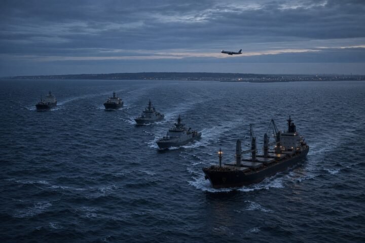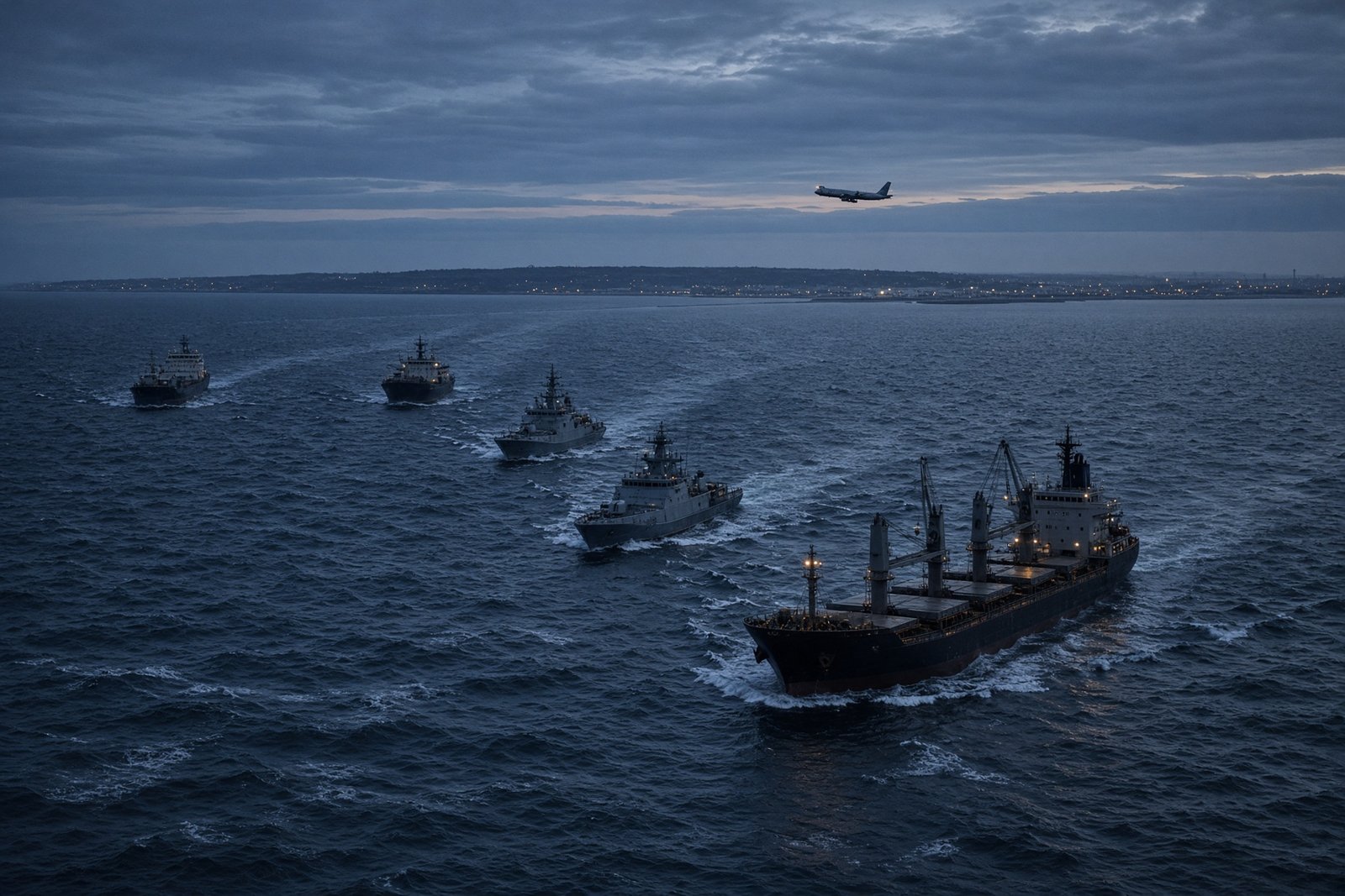
Dozens of aircraft reportedly lost GPS navigation signals over the Netherlands on 9 November, with seven planes affected during their approach to Amsterdam Schiphol. The interference was traced to the North Sea, north of Texel, raising the possibility that a mobile source at sea had disrupted civilian aviation.
Russian-flagged vessels were in the area, including three ships linked by European Union sanctions to reported weapons transfers. Their presence makes them a lead for further investigation, but not proof of responsibility. The incident instead exposes a wider problem: transport networks built around satellite navigation can be affected far from any active battlefield.
A signal tracked to the sea
Dutch-language media reported the incident on 15 November 2026. Data analyst John Wiseman placed the apparent source of the interference in an area north of Texel. The disruption appeared to begin at sea level, pointing towards a transmitter aboard a vessel rather than a land-based installation.
Six ships flying the Russian flag were reportedly in the area at the time. Three formed part of a convoy said to be carrying Russian weapons. Those three vessels and their owner were already on an EU sanctions list over reported involvement in weapons transfers involving North Korea, Iran and Russia. They were also accompanied by Russian naval vessels.
Dutch-language report on the GPS disruption near Schiphol
The circumstances are significant, but they do not establish which ship, if any, generated the interference. A vessel’s presence near a localised signal does not show that its equipment was transmitting, who might have operated it or whether the transmission was deliberate. Locating a signal narrows the search; attribution requires additional technical evidence.
Why an approach is a vulnerable moment
GPS is part of the broader family of global navigation satellite systems used to determine position and time. Aircraft, ships and operators of critical infrastructure rely on these signals in different ways. A receiver calculates its location by comparing signals from several satellites.
In jamming, radio interference overwhelms the genuine satellite signal and can leave a receiver unable to calculate a reliable position. Spoofing is more deceptive: counterfeit signals can persuade a navigation system to produce false coordinates or an incorrect time. A total loss of signal may be obvious to a flight crew, while a plausible but wrong position can be harder to spot.
Airliners are not dependent on GPS alone. Pilots and air-traffic controllers can use other navigation aids and established procedures when satellite signals become unreliable. But an interruption during an approach increases the workload in the cockpit and control room, particularly in poor visibility, difficult weather or heavy traffic.
Schiphol is one of Europe’s busiest airports, and the reported problems occurred during a phase in which precise navigation and close coordination with air-traffic control matter most. The available account does not indicate a loss of control or an accident. The risk lies in the ability of a source outside the airport perimeter to affect aircraft arriving at it.
The western spread of a familiar problem
European aviation regulators have recorded increasingly extensive and complex interference with satellite navigation since Russia’s full-scale invasion of Ukraine began in February 2022. The Baltic states, Poland, Finland and other countries on NATO’s north-eastern flank have repeatedly reported jamming and spoofing affecting aircraft and shipping.
Those incidents have often been associated with areas close to Russia or with Russian military activity. The reported disruption near the Netherlands suggests that the geographic challenge may be widening, although the precise cause remains unresolved. In July 2026, dozens of aircraft also experienced navigation problems in airspace between the United Kingdom and the Netherlands.
On 3 July 2026, the European Union Aviation Safety Agency updated its recommendations on interference with satellite-navigation systems. The guidance highlighted stronger response procedures, better crew training and the need for backup navigation capabilities.
Such preparations are necessary even before a source is identified. An airport must be able to manage an unreliable navigation environment while investigators are still determining what happened. A maritime source complicates that task: radio emissions can cover a broad area, ships move, and possible transmitters may be operating in international waters.
Beyond aircraft
The vulnerability extends across the transport system. Commercial shipping uses satellite navigation for route planning, positioning and timing. Ports, logistics networks, surveying operations and other critical services may also depend on accurate, continuous satellite-derived data.
A prolonged or repeated disruption could force operators to switch to backup systems, slow traffic and increase the risk of navigational errors. Jamming threatens the availability of the signal; spoofing threatens confidence in the information being displayed. Both can impose operational costs without causing an immediate collision or accident.
European governments therefore face a task that goes beyond tracking aircraft. They need to monitor unusual radio-frequency activity over maritime areas, compare reports from ships and planes, and improve their ability to distinguish accidental interference from deliberate transmission. Transport operators, meanwhile, need procedures and alternative navigation systems that remain usable when GPS is unavailable or cannot be trusted.
The Schiphol episode shows how a disturbance at sea can reach civilian routes well beyond a war zone. The central question is now whether authorities can detect, attribute and contain the next disruption before it reaches an airport approach, a crowded shipping lane or another system that depends on precise location and time.