Climate change is threatening the remains of hundreds of ancient forts dotted around Ireland’s coasts, which are vulnerable to coastal erosion.
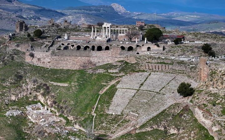
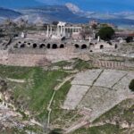
The Copper Coast in Co Waterford is particularly rich in archaeology.
Old mine workings are visible in many places and there are also at least 20 promontory forts, which were built on headlands or promontories.
Surrounded by sea cliffs on three sides, the forts were protected by defensive ditches and banks on the landward side. Many were inhabited in medieval times, but it is believed some may date back to the Iron Age and contain evidence of trading links to Britain and further afield.
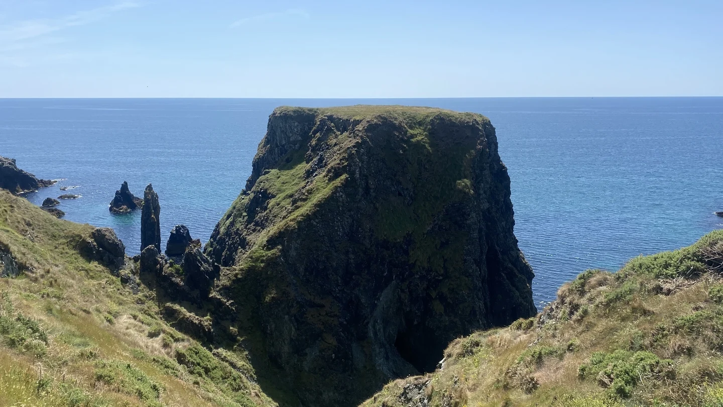
Along the coast is Illaunobrick promontory fort, one of many examples of an archaeological site which has been made inaccessible by coastal erosion.
Home to the O’Bric family for centuries, older maps show it used to be connected to the mainland, however coastal erosion has now made it too dangerous to access.
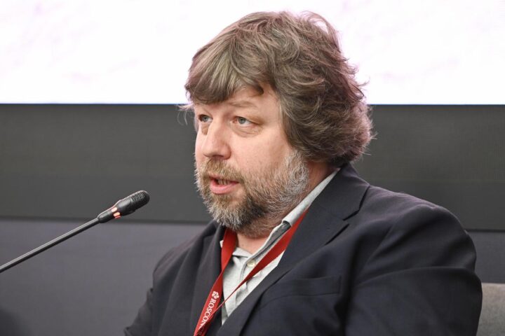
Maritime Archaeologist on the Discovery Programme Dr Edward Pollard has recorded and explored many of the forts.
Old maps studied by Dr Pollard and his colleagues show that coastal erosion has been changing the outline of the Copper Coast for centuries, something they have also witnessed since they started their own survey work.

On a headland above the beach at Annestown, a ditch and bank which protected the Woodstown promontory fort for centuries, shows signs of collapse.
Dr Pollard said that from the examination of 19th century maps, there has been at least 25 metres of erosion since about 1840 along the bank.
“When the people built it, they used a weakness in the rock to actually build their ditch and build their bank but that is also the weakest part where the erosion is going to happen as well. So we can see that it’s gradually being turned into an islet as it is eroded away.”
Professor Mary Bourke, Professor of Geomorphology at the Department of Geography in Trinity College Dublin, said sea level rise is occurring now and is going “to happen around every single part of the coastline of Ireland”.
She said everyone understands the concept that sea level rise brings a rise in water levels, but said “that’s the water you see. It’s also going to change the water that you don’t see”.
She explained that there is “like a wedge of salt water that exists under my feet … and that’s going to expand and move further inland … (that) will affect the processes that are operating, because it’ll wet and weather a lot of the rocks from underneath upwards.”
Climate change is also expected to bring more extreme weather events, with floods and storms becoming more frequent and intense.
“The height of the waves and the energy of the waves may be stronger and they may occur more frequently and together with sea level rise, it means that the area inland that will be affected by these coastal storms will actually increase,” Prof Bourke added.
She said that while storms and sea level rise undermine coasts, heavy rain is the threat from above.
“Rain has a lot of energy, with it. So, it will wet our soft coasts and cause more landslides. And we can see that from the research that we’ve already done.”
Catherine Casey, Head of Climate Change at the Heritage Council, said Ireland’s built archaeology is “being pummelled by more rain, more storms. Our wildlife, our mature trees, for example, are being threatened by droughts, by wildfires.
“But also what we don’t always think of is our cultural heritage, if a piece of ground is lost, or God forbid if a community has to move, their stories could be lost, the place names, the folklore, the genealogy in the graveyards.”
She said it is important to highlight not just what is vulnerable, but also projects which give an example of what can be done “to focus our minds really on where action is needed, to help to focus resources, to identify the highest priorities and to target government, national and local action”.